Railway Routes Research - your exploration invited
Map from www.railmaponline.com Cockermouth Maryport Workington Lowca etc. More research invited.
Railways Menu
Maps Railway Lines
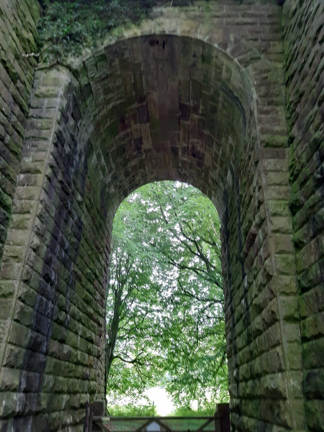
A great way to explore our countryside is to discover and walk the old railway routes that are now paths and tracks – and discover the hidden remains. For example, Maryport harbour sea wall still has the imprint of sleepers and tracks from the days of loading coal hurries – on the sea wall embankment. And the maps and photos below would lead you to the beautiful engineering masterpiece of the Rose Gill Viaduct between Dearham and Bulgill. Another example is the bed of the track that had to be routed to the private Dovenby Hall station and for a while ran parallel with the track of a rival company. Even opencast coal can’t erase all signs, for example at the junction of the road from Little Broughton to the A594 (Cockermouth to Dearham/Maryport) there is a farm lane to the right (actually the line of the old Roman road and old highway before the new road with its toll bar cottage). Opposite where the farm lane joins the road to Little Broughton is the entrance to a farm – the entrance goes over the old railway bridge. Using Google maps aerial view you can follow the field boundaries that were the old railway route – note where the line crosses the back road to Dearham above The Old Mill (good place to recuperate) and note that the rail route carries on in the diagonal to eventually go under Row Brow, the road that goes to the east out of Dearham and after half a mile (1 km) you will find the lane on the left that leads to the wonderful Rose Gill Viaduct.
Railway lines to Maryport docks from Railmaponline com jpg
The Maryport & Carlisle Railway (M&CR) was an English railway company formed in 1836 which built and operated a small but eventually highly profitable railway to connect Maryport and Carlisle in Cumberland, England. There were many small collieries in the area and efficient access to the harbour at Maryport was important.
The western end, connecting the majority of the collieries to Maryport opened in 1840 and the line was completed throughout to Carlisle in 1845. The considerable resources of coal, and later iron ore, carried by the railway made it especially profitable, and this was redoubled at the height of the iron and steel processing industries around Workington. Branch lines were opened to connect further collieries.
After 1918 the industries on which the line was dependent declined steeply, and the railway declined accordingly; the branch lines closed, but the original main line remains open and forms part of the Cumbrian Coast Line between Carlisle and Barrow in Furness. Wikipedia
Railway lines to Maryport docks including Broughton Moor from Railmaponline com jpg
Railway lines to Maryport and Workington docks including Cockermouth Bulgill from Railmaponline com jpg
Maryport to Bulgill orange colour is Carlisle to Maryport (Maryport & Carlisle Rly)
Orange line from Bullgill Jnc to Brigham (Maryport & Carlisle Rly) Search Google for ‘Bullgill Jnc to Brigham (Maryport & Carlisle Rly)’
Green horizontal rail line is Linefoot to Workington (Cleator & Workington Jnc Rly)
There is no information for the line from Flimby to Broughton Moor, nor Broughton Moor to the left of Dearham so if you have info then please inform the websites linked below.